A vegetation index without a field boundary is a heatmap with no rows. Productivity zoning, moisture anomalies, season detection, harvest forecasting: all of them are computed per field, and all of them need the polygon first.
- Client
- Turing Agro product line - validated on CMAA farms (Usina Vale do Tijuco) and on mixed-use properties
- Industry
- Agriculture · Sugar & ethanol
- Problem
- Every per-field analysis needs field polygons, and most properties either have none or have shapefiles years out of date
- Solution
- Two automatic delineation approaches run side by side: an NDVI-based morphological segmentation ("AI-core") and an RGB instance-segmentation model (Delineate-Anything), producing per-field polygons that feed every downstream product and the Turing Agro map
- Stack
- Sentinel-2 RGB and NDVI · morphological opening/closing · Delineate-Anything instance segmentation · polygon export · Turing Agro map layer
- Status
- Both approaches in the pipeline; Delineate-Anything replacing the earlier cultivation-plot detector (July 2025)
A vegetation index without a field boundary is a heatmap with no rows. Productivity zoning, moisture anomalies, season detection, harvest forecasting: all of them are computed per field, and all of them need the polygon first. On a new property, the polygon is the thing the client does not have.
Manual digitizing scales badly and goes stale as soon as a field is split or merged. The requirement was to generate field shapes automatically, from imagery the pipeline already downloads, good enough to run analytics on and refine later.
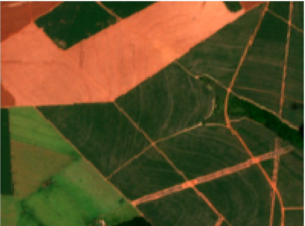
- Field polygons from satellite imagery with no prior shapefile
- Robustness on mixed properties: crops next to pasture, buildings, water
- Output that plugs directly into the per-field products and the app map
- Two independent methods, so weaknesses of one are visible in the other
- Automatic polygon generation on any downloaded tile
- Numbered, individually addressable fields
- Agreement with known boundaries on CMAA farms (96 and 28 fields)
- Polygons rendered as an editable layer in Turing Agro
- 01
Approach 1 - NDVI core with morphological operations
NDVI separates vegetation from roads, water and bare ground. Thresholding gives a mask; morphological opening removes thin connectors (roads, field edges) and closing fills small holes; connected components become candidate fields. It is fast, has no training data, and works where fields are homogeneous.
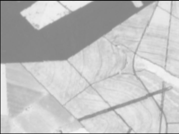
Fig. 02. NDVI as a grayscale. Roads and water go dark; the segmentation starts here. 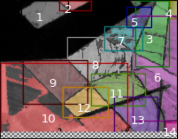
Fig. 03. NDVI-core output: numbered regions, each a candidate field. Where two fields share a crop stage, the method merges them. - 02
Approach 2 - Delineate-Anything on RGB
Delineate-Anything is an instance-segmentation model trained for agricultural field boundaries. It works on RGB, so it does not depend on vegetation contrast and can separate adjacent fields at the same stage by their edge geometry.
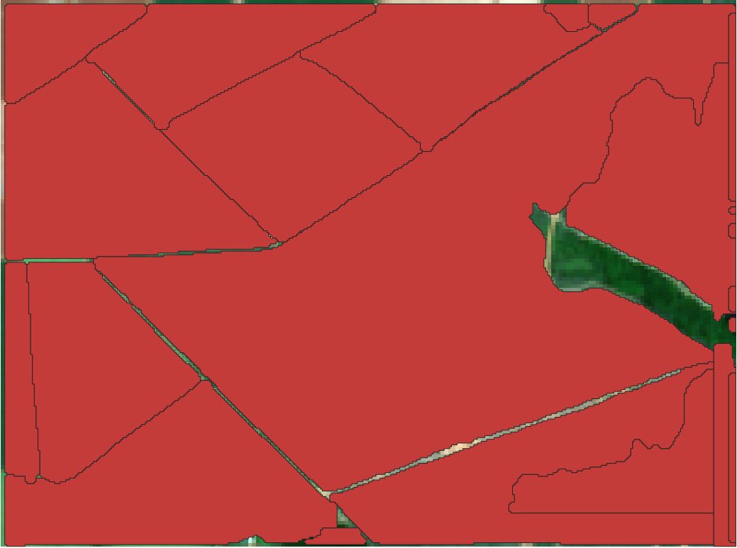
Fig. 04. Delineate-Anything on the same tile. Fields are separated by boundary, not by vegetation state. - 03
A harder property
A second test area mixed cropland, buildings, ponds and pasture. This is where the two methods diverge and where the comparison earns its keep.
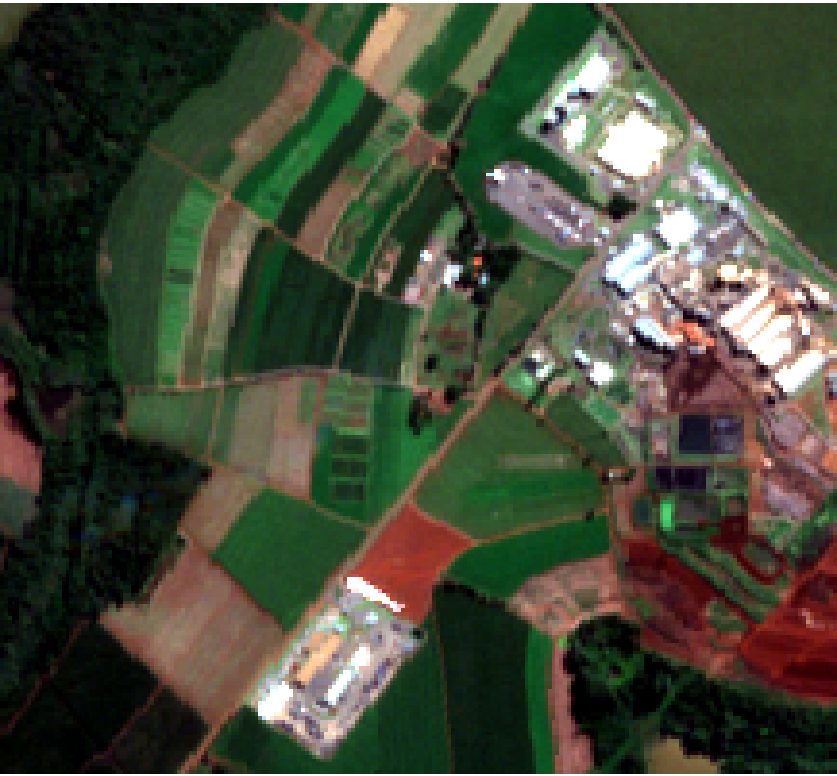
Fig. 05. Mixed property: crops, a settlement, water bodies. 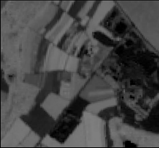
Fig. 06. NDVI of the same area. Buildings and water are dark; pasture and crop look alike. 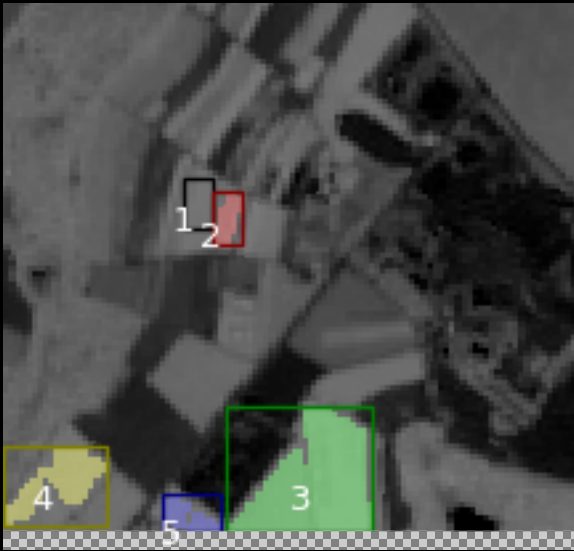
Fig. 07. NDVI-core finds a few large regions and cannot split pasture from crop. 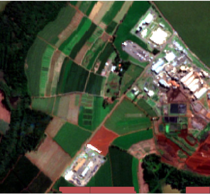
Fig. 08. Delineate-Anything finds many more, smaller fields, including ones the NDVI method merged. It also over-segments some pasture. - 04
Sugarcane at mill scale
On sugarcane properties the polygons are exported directly as the field layer used by every other product.
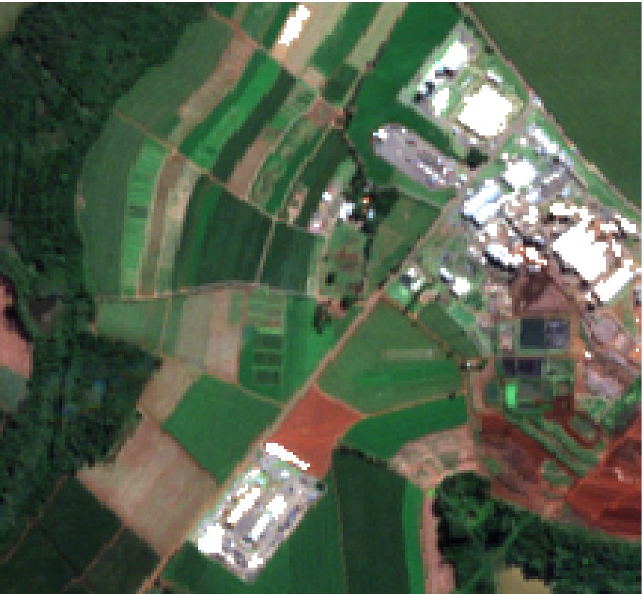
Fig. 09. A sugarcane property in RGB. 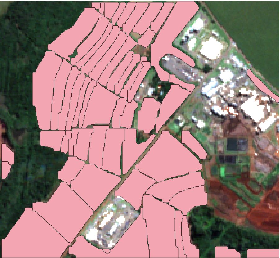
Fig. 10. Automatic polygons. Each becomes a row in the per-field analytics: yield, moisture, season, health. 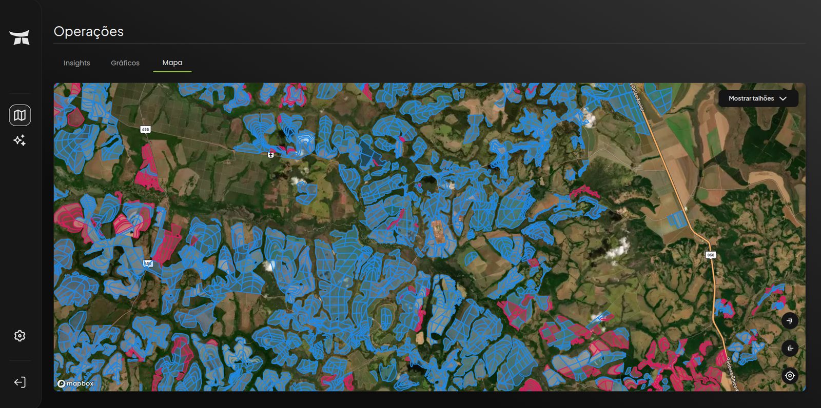
Fig. 11. The same polygons inside the Turing Agro map. Editable, clickable, and the entry point to every per-field report. - 05
Validation on CMAA farms
Two farms at Usina Vale do Tijuco with known field structure, Farm 10048 (28 fields) and Farm 10002 (96 fields), are the reference set for the delineation and for the season-detection product built on top of it.
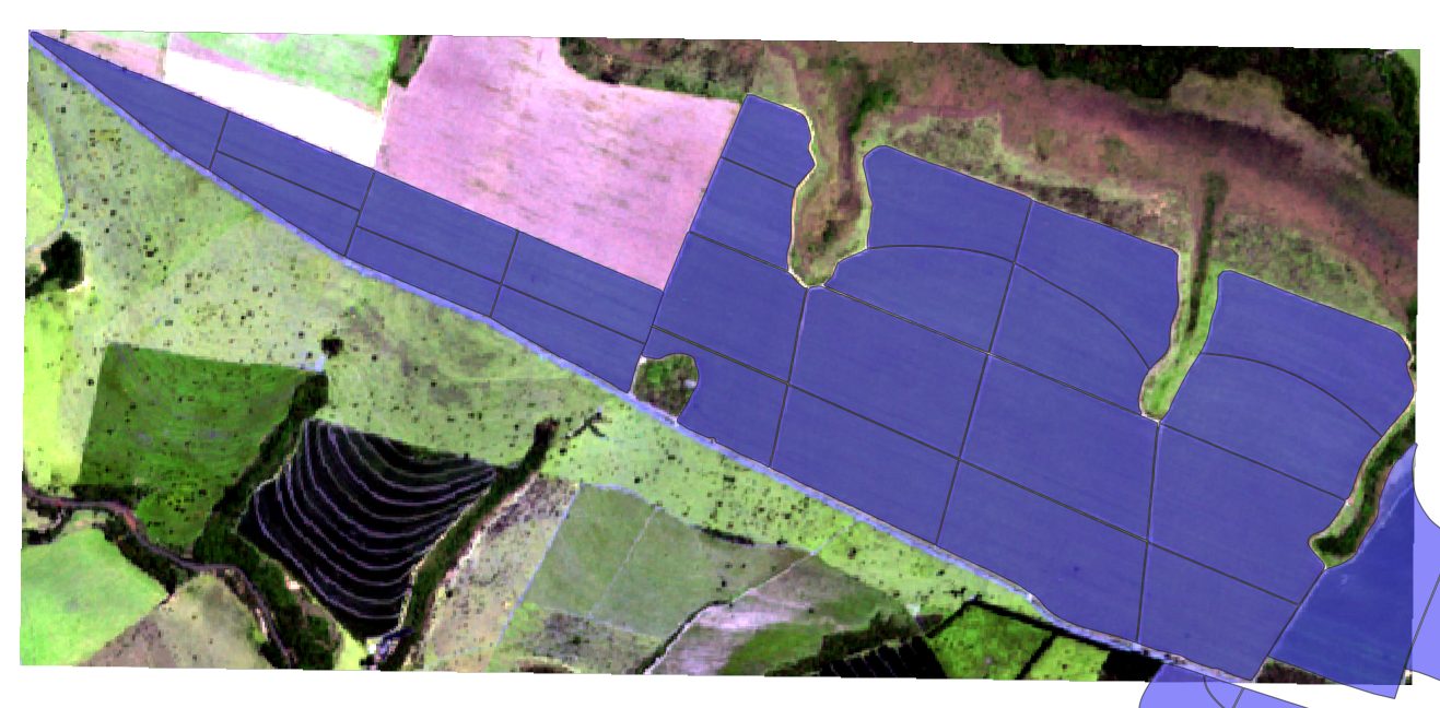
Fig. 12. Farm 10048: 28 fields. 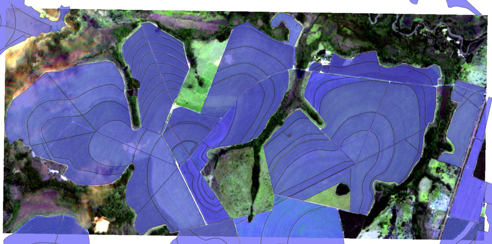
Fig. 13. Farm 10002: 96 fields. The size at which manual digitizing stops being an option.
- Two methods with different failure modes, run together
- NDVI-core for speed and no dependencies; Delineate-Anything for geometry
- Polygons as a first-class product, feeding the map and every downstream analytic
- Reference farms with known field counts to keep the methods honest